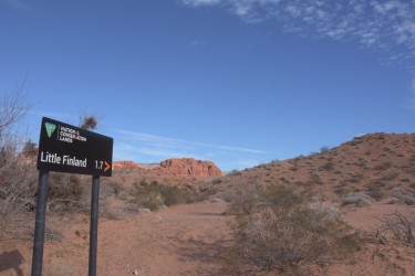
The Nevada Mapping Collaborative moved south for the winter and focused on mapping riding areas in Clark County and Gold Butte National Monument. Check out the georeferenced trail maps at: https://ohv.nv.gov/trails
The Nevada Mapping Collaborative is a partnership between the Nevada OHV Program, the Recreational Trails Program, and the Great Basin Institute, and strive to provide high quality trail maps and recreation information for OHV users. Trail data is provided three formats: GeoPDF, .GPX and .KML for use on a variety of navigation devices.
The team communicates with OHV clubs, rural communities, and land managers to find the hidden gems around the State. Without revealing all of Nevada’s secrets, the team then makes suggestions for your next Off-Road Adventure. Check out the trail maps and more information on “The Dirt” pages at: